Vector Three Namibia

Selected project evidence

Real environments.
Controlled evidence.

Examples of how inspection, survey and site data are structured around a defined operational or engineering requirement.

Client names, exact locations and sensitive asset details have been intentionally removed.
GEO / 01
01

Survey & geospatial

Engineering survey evidence

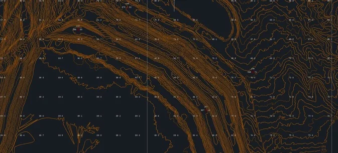
A controlled spatial dataset prepared around the engineering requirement, with terrain and site features structured for downstream design work.

The requirement

Create traceable site geometry and surface information that could move directly into the client’s engineering workflow.

Evidence delivered
  • High-resolution orthomosaic
  • Digital terrain and surface models
  • Contours and mapped site features
  • Coordinate-referenced delivery package
REN / 02
02

Renewable energy

Construction and operational visibility

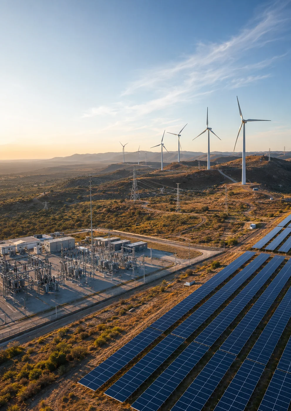
Repeatable visual evidence across a renewable-energy site, organised to support progress communication and a clear record of changing conditions.

The requirement

Create consistent site-wide evidence that different project teams could review without relying on disconnected photographs.

Evidence delivered
  • Repeatable aerial site overview
  • Priority-area visual records
  • Construction and logistics context
  • Structured media delivery
MIN / 03
03

Mining & industrial

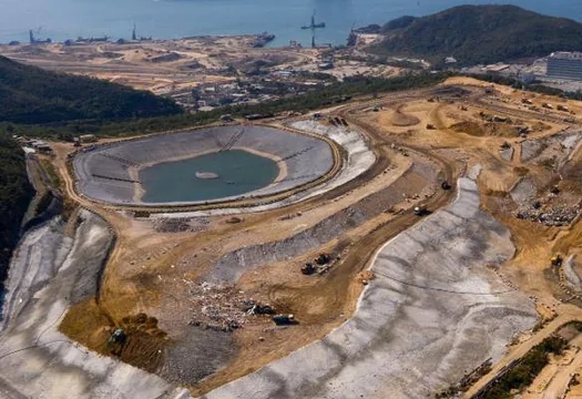
Site-wide operational context

Connected terrain, infrastructure and operational areas in one evidence layer to improve shared understanding of a complex industrial site.

The requirement

Give technical and management teams a common, current view of the site and the areas requiring closer attention.

Evidence delivered
  • Site-wide visual context
  • Infrastructure and access overview
  • Priority-area identification
  • Controlled project evidence archive
INT / 04
04

Confined-space inspection

Internal asset evidence

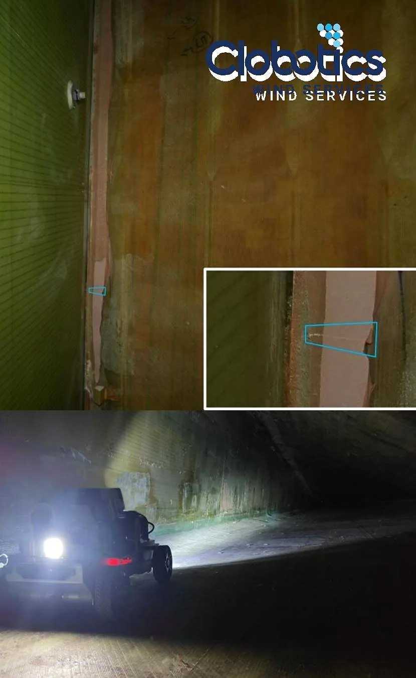
Close-range internal imagery captured without routine personnel entry, creating a reviewable record of difficult-to-access asset surfaces.

The requirement

Improve visibility inside a restricted asset while reducing unnecessary exposure during the initial evidence-gathering stage.

Evidence delivered
  • Internal visual coverage
  • Location-linked observations
  • High-resolution supporting imagery
  • Exception-focused reporting
OGM / 05
05

Oil, gas & marine

Remote asset condition evidence

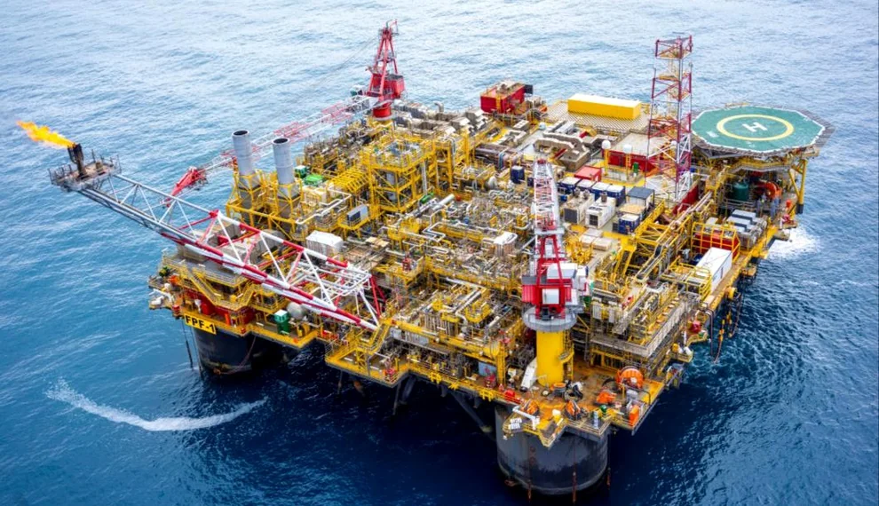
Stand-off visual evidence for high-value, difficult-access infrastructure, captured around the asset owner’s safety and access controls.

The requirement

Provide decision-ready visual evidence while limiting unnecessary work at height or difficult-access exposure.

Evidence delivered
  • Asset and component context
  • Detailed visual observations
  • Priority exception imagery
  • Structured review package

The V3 principle

Show enough to demonstrate the work. Protect what belongs to the client.

Naming, imagery, reporting and client access are agreed before mobilisation. Approved deliverables are then shared through a controlled project workspace.

Your asset. Your decision.

Let's define the evidence your team needs.

Bring us the site, access problem or required deliverable. We will help shape a practical capture and reporting plan.

Discuss a project +27 (0)64 970 7708