Namibia · Industrial data partner

Evidence for better
asset decisions.

Inspection, survey and asset intelligence for industrial, infrastructure and energy assets—turning difficult access into structured evidence your team can act on.

Capture is only the beginning.

Define · Capture · Structure · Prioritise · Re-inspect

What we deliver

From access problem
to maintenance decision.

We combine fit-for-purpose capture technology, disciplined field operations and specialist analysis to deliver evidence—not just imagery.

01

See the condition

Inspection & integrity support

Stand-off, close-range and confined-space inspection that reduces exposure while improving the quality of the evidence.

  • High-resolution visual inspection
  • Radiometric thermal inspection
  • Internal and confined-space access
  • Specialist anomaly reporting
02

Measure the asset

Survey & geospatial intelligence

Accurate, traceable spatial data for planning, construction, compliance and operational decision-making.

  • LiDAR and photogrammetry
  • Topographic and corridor surveys
  • Digital terrain and surface models
  • Orthomosaics, contours and volumes
03

Understand the evidence

Asset intelligence

Structured findings that connect imagery, location, severity and recommended action to the right asset.

  • Asset-linked digital reporting
  • AI-assisted anomaly classification
  • Prioritised maintenance evidence
  • Repeat inspection and change tracking

Selected field evidence

Real work. Anonymised where confidentiality matters.

A glimpse of the environments, assets and evidence layers our teams support. Client and site details remain protected.

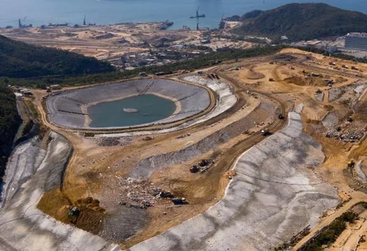
MIN / 01

Industrial site intelligence

Site-wide context, terrain, infrastructure and priority areas captured as one controlled evidence layer.

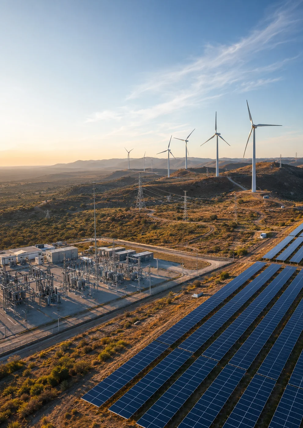
REN / 02

Renewable asset evidence

Connected visibility across generation assets and balance-of-plant infrastructure.

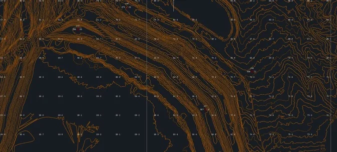
GEO / 03

Survey-ready spatial data

Terrain, geometry and location evidence structured for engineering workflows.

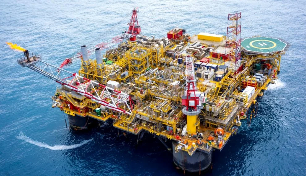
OGM / 04

Remote asset inspection

High-value visual evidence for difficult-access industrial and offshore assets.

01Define the decision
02Capture the evidence
03Structure the findings
04Support the action
Explore selected project evidence

One site. Multiple evidence layers.

See more of the operation in a single mobilisation.

A survey flight, asset inspection and operational overview should not live in separate silos. We structure each evidence layer so engineering, maintenance and management teams can use it.

Scope a site programme
SITE / EVIDENCE MODELNAM · 22.5609° S
010203
ASSETevidence index
Condition Geometry Priority

How we work

A clear line from question to evidence.

Technology is selected around the required decision—not the other way around.

01

Define

Agree the decision, asset and evidence required.

02

Plan

Select the safest, most efficient capture methodology.

03

Capture

Collect traceable, fit-for-purpose field data.

04

Structure

Connect evidence to the correct asset and location.

05

Prioritise

Surface what matters and support the next action.

06

Re-inspect

Verify work and track condition over time.

Trusted experience

Experience connected to recognised asset owners.

Selected organisations supported through V3 Namibia, Sky-Futures Africa and their delivery teams.

01
02
03
04
05
06
07
08
09
10
11
12

Technology & delivery partners

Specialist capability, brought together around the asset.

Independent platforms and specialist teams integrated into one controlled delivery model.

01
Sky-Futures Africa logo

Sky-Futures Africa

Strategic inspection & operational capability

02
Quantified Energy logo

Quantified Energy

Electroluminescence testing

03
Sitemark logo

Sitemark

Solar intelligence & analytics

04
Clobotics logo

Clobotics

Wind inspection & AI-assisted reporting

05
APEX AIS logo

APEX AIS

Rope-access inspection & asset integrity

Capability library

Explore the evidence behind each service.

Download our company overview or a specialist capability brief for renewable energy, solar EL, survey and wind blades.

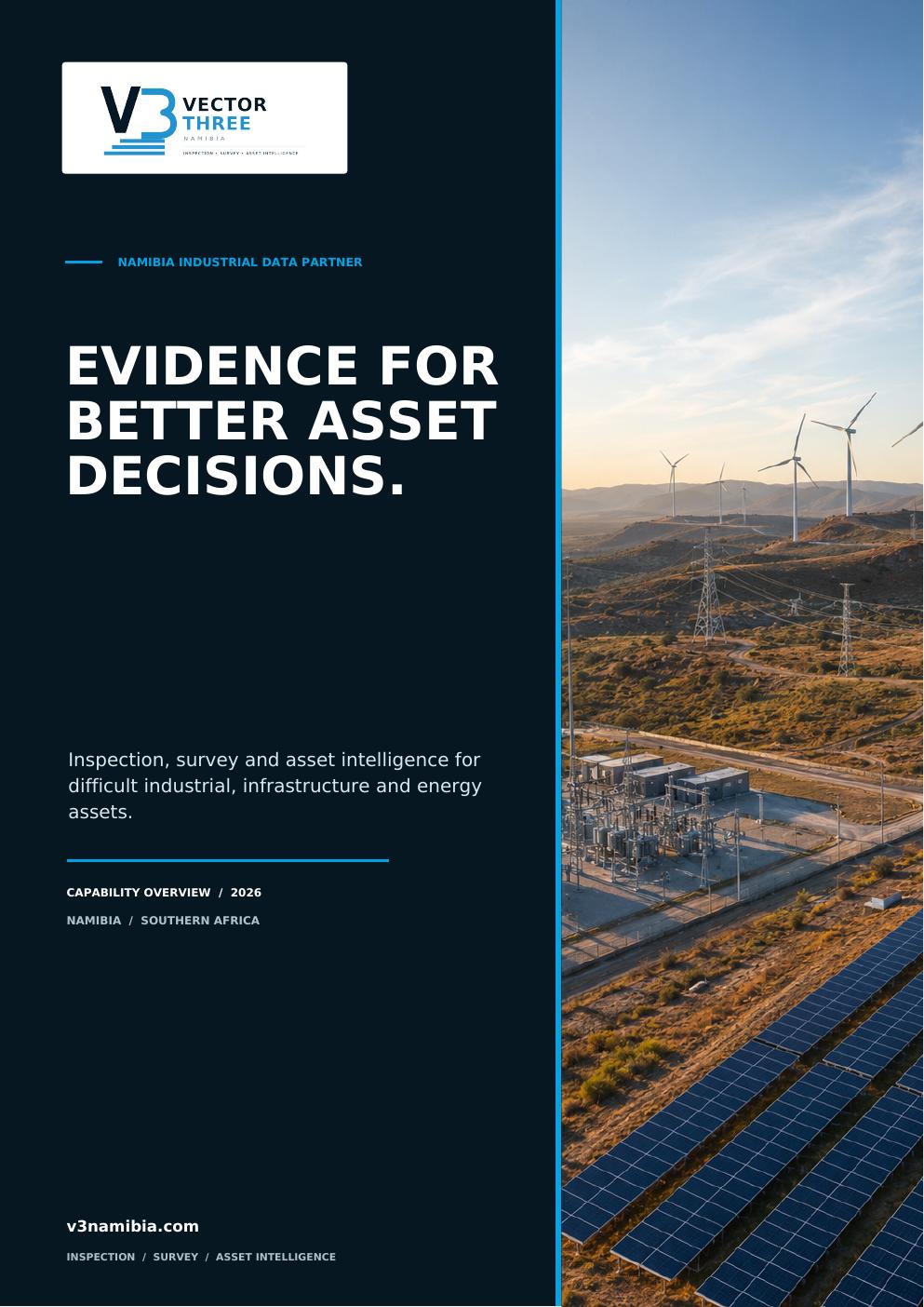
V3 Namibia Capability Overview cover
V3 / CAP

V3 Namibia Capability Overview

The complete V3 Namibia inspection, survey and asset-intelligence capability.

Download PDF
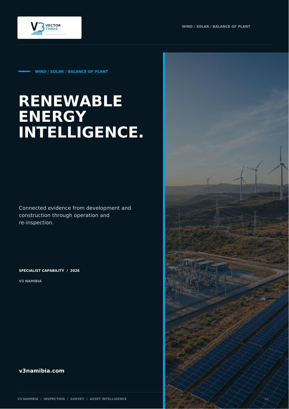
Renewable Energy Intelligence cover
V3 / REN

Renewable Energy Intelligence

Connected evidence for wind, solar and balance-of-plant assets.

Download PDF
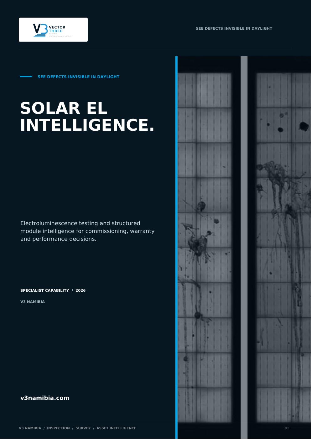
Solar EL Intelligence cover
V3 / EL

Solar EL Intelligence

Module-level electroluminescence evidence for commissioning, warranty and performance decisions.

Download PDF
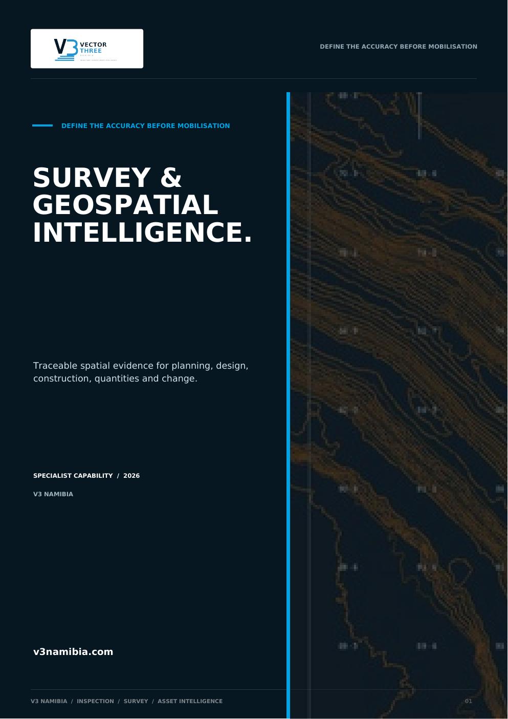
Survey & Geospatial Intelligence cover
V3 / GEO

Survey & Geospatial Intelligence

Traceable spatial data for planning, engineering, construction and change.

Download PDF
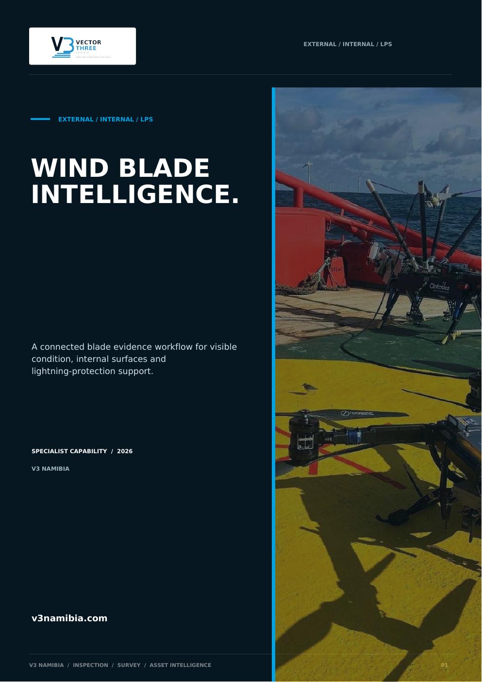
Wind Blade Intelligence cover
V3 / WND

Wind Blade Intelligence

External, internal and LPS evidence connected to the turbine and blade.

Download PDF

Vector Three Namibia

Local understanding. Africa-wide capability.

V3 Namibia is a Namibian inspection, survey and site-intelligence company built for industrial work where evidence quality, operational discipline and local presence matter.

We are not a generic drone operator. Capture is one part of a broader workflow designed to help asset owners see condition, understand risk and act with confidence.

Our connection to Sky-Futures Africa extends access to specialist platforms, engineering experience and inspection partners across the continent.

Safer accessStructured evidenceRepeatable intelligence

Let's discuss the asset

Bring us the access problem, the scope or the decision.

We will help define the right methodology, evidence and delivery format before mobilisation.

PROJECT ENQUIRY / V3 NAMIBIATell us what your team needs to decide.

Or email louw@v3namibia.com